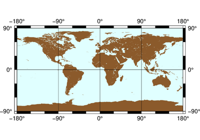
Projections
PyGMT support many map projections. Use the projection argument to specify which one
you want to use in all plotting modules. The projection is specified by a one letter
code along with (sometimes optional) reference longitude and latitude and the width of
the map (for example, Alon0/lat0[/horizon]/width). The map height is determined
based on the region and projection.
These are all the available projections:
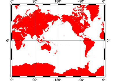
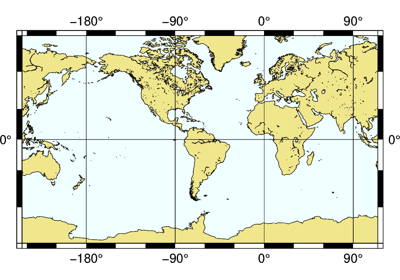
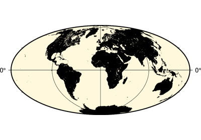
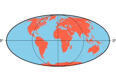
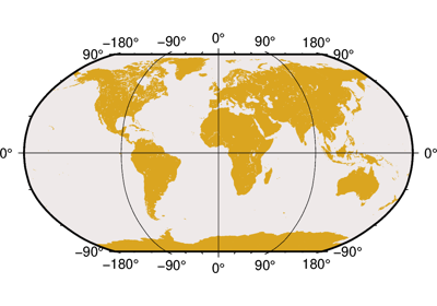
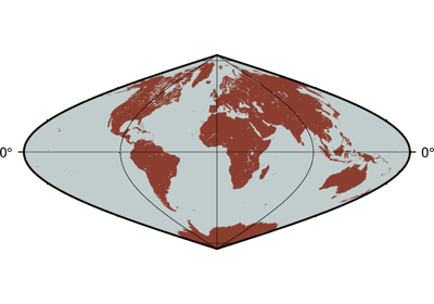
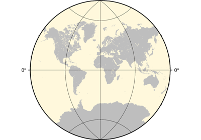
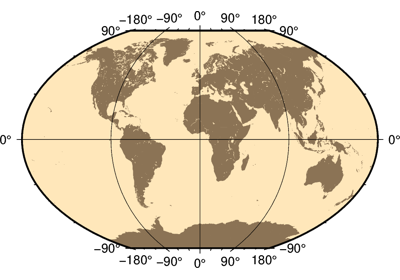
Projection Table
PyGMT offers 31 map projections. These are specified using the projection argument.
The projection codes for the projection styles are shown below.
PyGMT Projection Argument |
Projection Name |
|---|---|
|
|
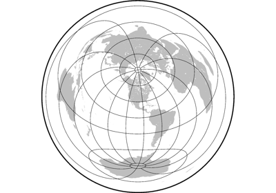
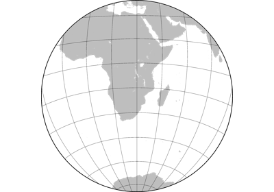
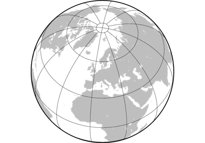
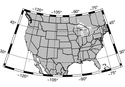
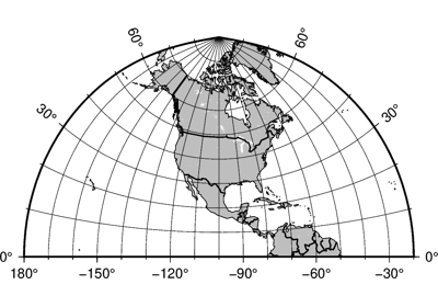
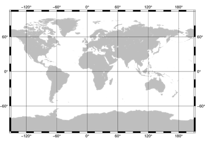
Alon0/lat0[/horizon]/width |
Lambert azimuthal equal area |